Day 1: Vung Tau - Bao Loc - 300 kms


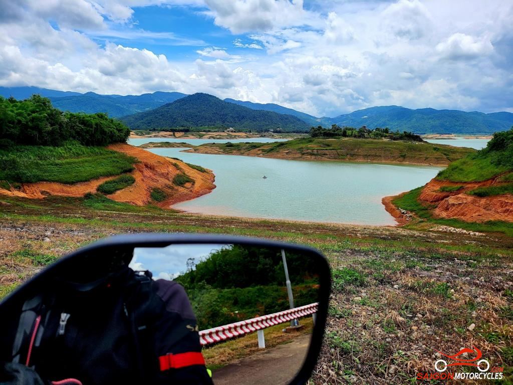
Day 2: Bao Loc - Cat Tien - 210 kms


Day 3: Cat Tien - Vung Tau - 190 kms