Vung Tau – Cat Tien 4 Day Loop

Vung Tau – Cat Tien 4 Day Loop

Route Summary:

Duration: 4 days - 920 kms
Without long ride days this option gives you a very diverse experience around the South. A mix of farmland, lakes, mountains waterfalls and the coast run home.
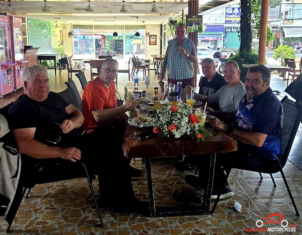
Day 1: Vung Tau - Cat Tien - 185 kms

Vung Tau - Cat Tien

Distance: 185 Kms

This backroads route initially hugs the coast before we divert inland through farmland mainly, with a few water stops to the Cat Tien township. The last of the Southern Vietnam plains before the mountains that cover the rest of the country. 

The Cat Tien National Park covers an area of 750 km² in the provinces of Dong Nai, Bình Phuoc and Lam Dong and preserves one of the largest areas of lowland tropical forests left in Vietnam. Easy to spend some time there if natural beauty in peace and quiet appeals as a nice change of pace.  

(A) and (B) keep us on the coast where possible. (B) is a popular photo stop before we head for the rubber plantations. 

(C) The Long Tan Cross established in memory of the 18 Australian and 245 Vietnamese soldiers killed In the August 1966 Battle of Long Tan. 

(D) and (F) are both short diversions to lake stops along the way. A good option if you’re ready for a break or for a photo but can also be deleted if you want to keep at it. 

(E) This tourist area is a great swim opportunity on a hot day. At its best in wet season.

(G) and (H) take you across a dam wall before for me the best stretch of road for the day into your night stop. 

(I) One of many great accommodation options we recommend in the area and time to feel the serenity. 

Log in below to view full route maps, accommodation and food information.
These are supplied to all our touring bike customers.
(Excluded from the above itinerary) 
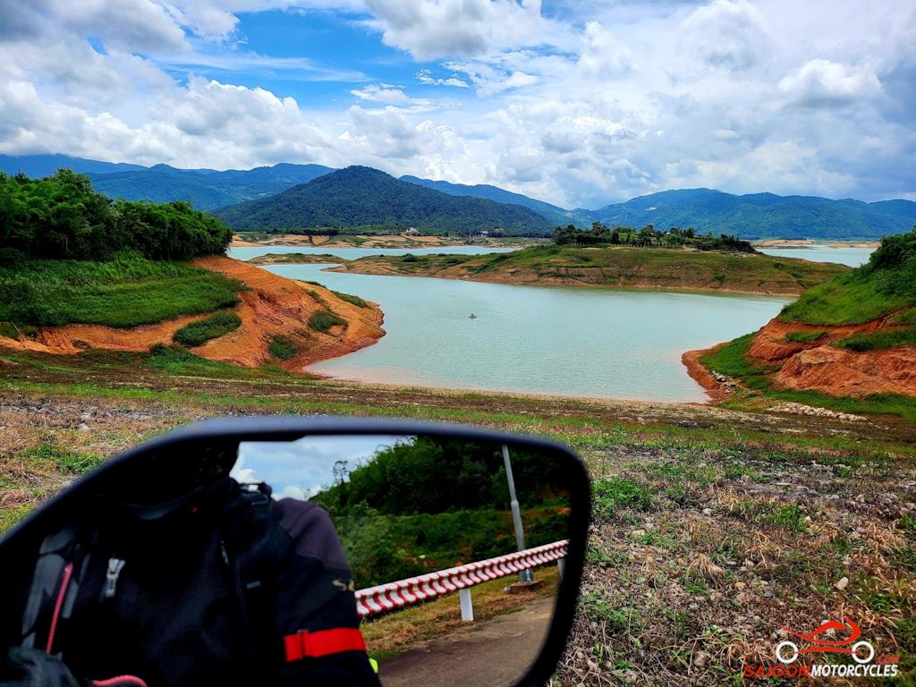
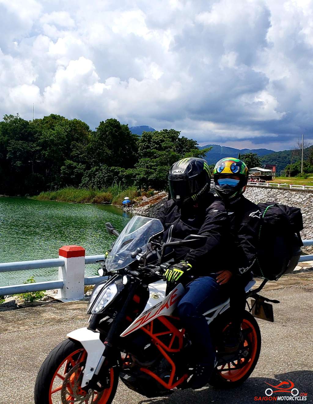
Day 2: Cat Tien - Ta Dung Loop - 280 kms

Cat Tien - Ta Dung Loop

Distance: 280 kms

I just love this road and lake system it follows dividing the Lam Dong and Dak Nong Provinces. It’s a bit rough in patches and at times some gravel on corners but nothing serious. The views to the lakes system some of the best water views in the country. Particularly Ta Dung overlooking what some refer to as the inland Halong Bay.  

(A) The bridge to this way point gets you immediately out of town and into farmland. Historically Google didn’t recognise it but seems it does now so that helps me to keep customers off the main roads.

(B) A good photo stop overlooking Da Teh Lake. The start of a big day of drone photography if you carry one. 

(C) The way around the wall damming the Dong Nai River. As you see this lake system through the day it becomes most impressive the volume of water this wall retains. 

(D) Your lunch stop overlooks some of the best views of Ta Dung National Park . The park covers 220 km² though so plenty to explore. At its heart a hydro dam that created a massive lakes system with 40 islands and peninsulas in the Dong Nai River system. 

(E) This bridge is a good photo stop but marked primarily to keep you on this great stretch of winding road around the lake system.

(F) Dambri Falls is quite an established attraction and at times quite crowded. The 200k entry is probably worth it only if you have the time to spend on the activities there. 

(G) Back to your Cat Tien accommodation for the night. I have added my preferred Ta Dung accommodation options in the notes as some may want to break this loop into two days. If time allows a night in this area is very tempting. 

Divider
Log in below to view full route maps, accommodation and food information.
These are supplied to all our touring bike customers.
(Excluded from the above itinerary) 
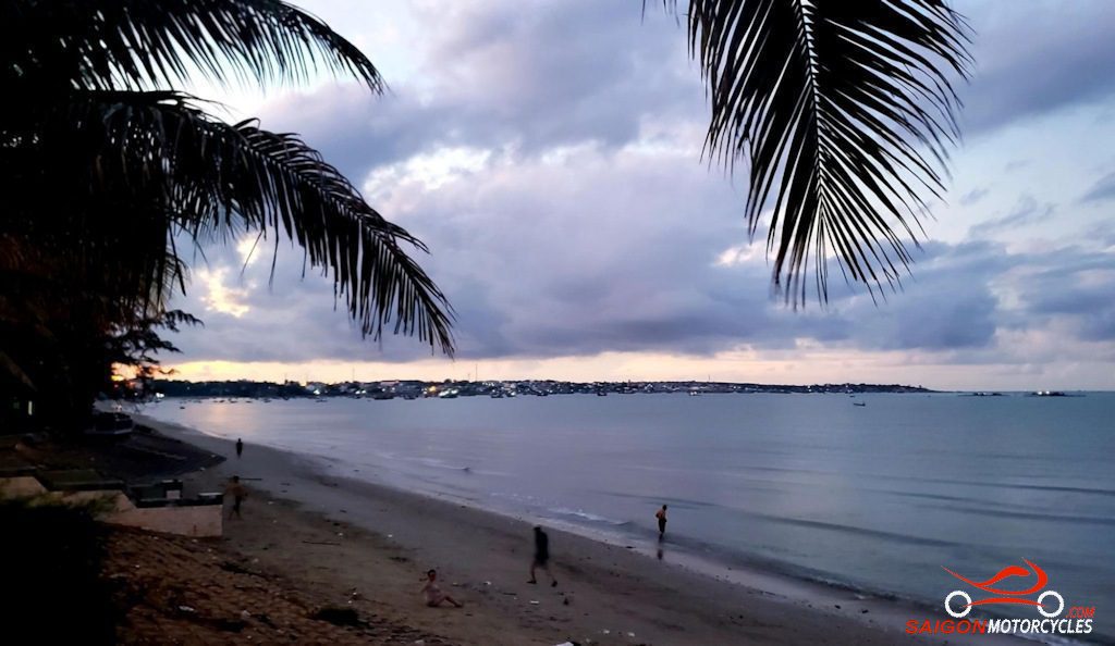
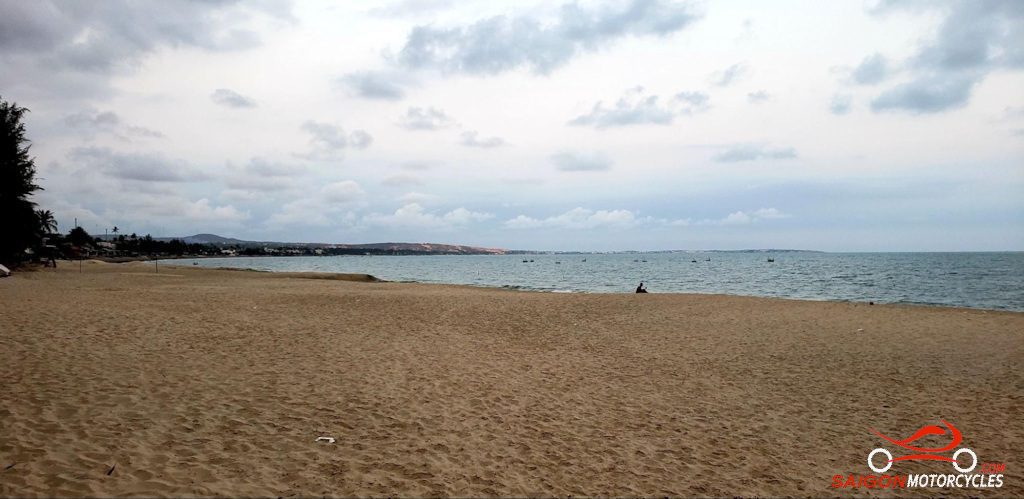
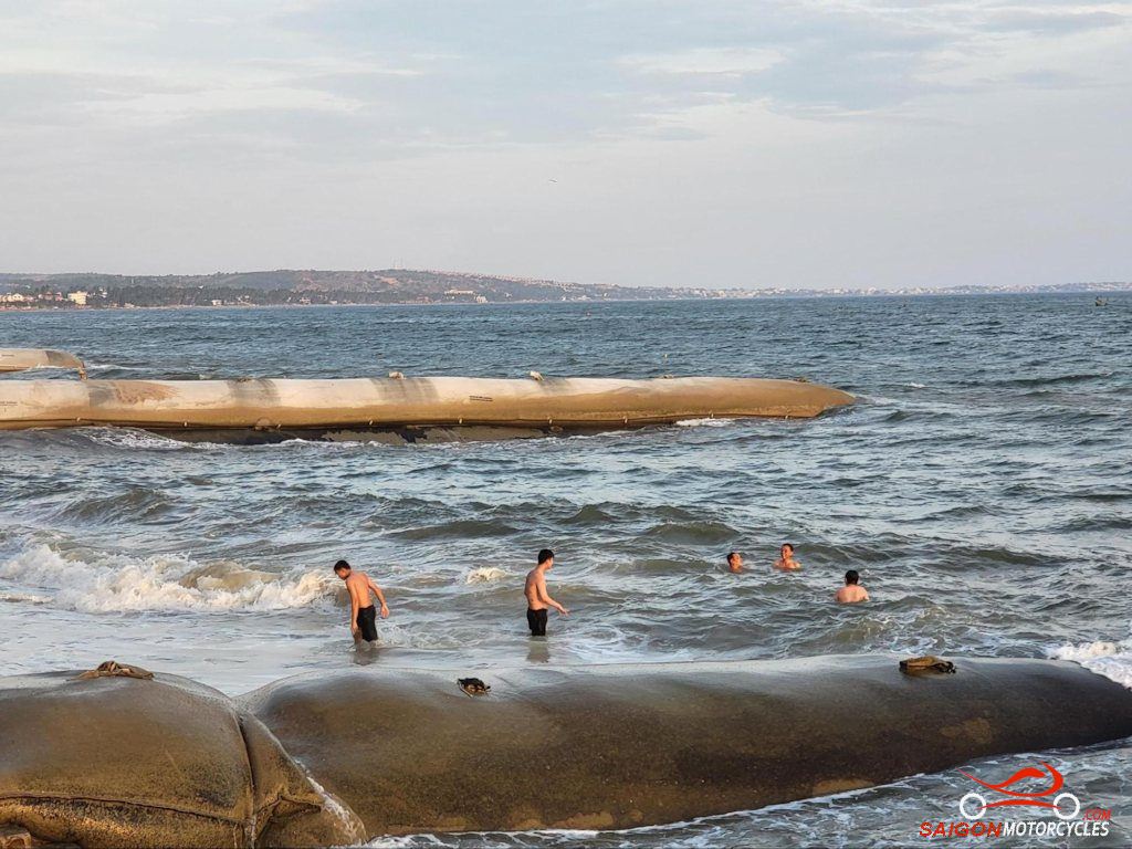
Day 3: Cat Tien - Mui Ne - 260 kms

Cat Tien - Mui Ne

Distance: 260 kms

You’ve done the beauty of the National Park. Are you ready for some beach time? Whilst MuiNe is one of the least attractive beach towns in the South this ride to it and the restaurants listed in the food options are exceptional. Opt for a hotel on the beach side of the road if you want beach time, access to it otherwise is limited. 

(A) The bridge to this way point gets you immediately out of town and into farmland. 

(B) A good photo stop overlooking Da Teh Lake 

(C) Dambri Falls is quite an established attraction and at times quite crowded. The 200k entry is probably worth it only if you have the time to spend on the activities there. 

(D) A good lunch stop I have been using for over a decade. The Chicken Shop, not it’s real name but what its known as in the riding community. 

(E) Is a detour 10km each way to a dam wall and really worth doing if you have the time. Some great photo stops around a very picturesque lake system.  

(F) The second lake is worth the short detour but the road into the dam wall is sometimes closed of late.  

(G) Is a way point to take you away from traffic and police getting into town. 

(H) & (I) Two of many accommodation options in town. 

Mui Ne is a fishing village with a population of around 25,000 people. With plenty of beachside hotels and resorts it is a popular holiday destination with locals and Kite Surfers particularly.

Log in below to view full route maps, accommodation and food information.
These are supplied to all our touring bike customers.
(Excluded from the above itinerary) 
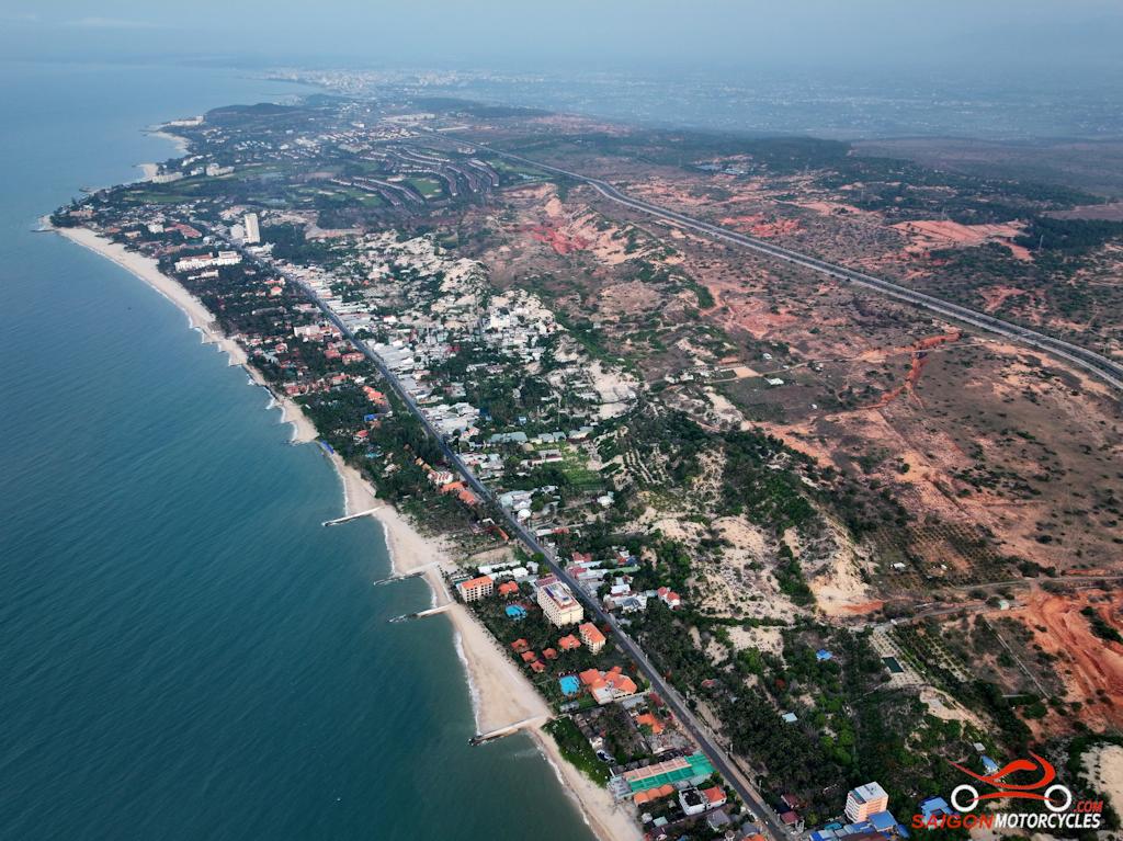
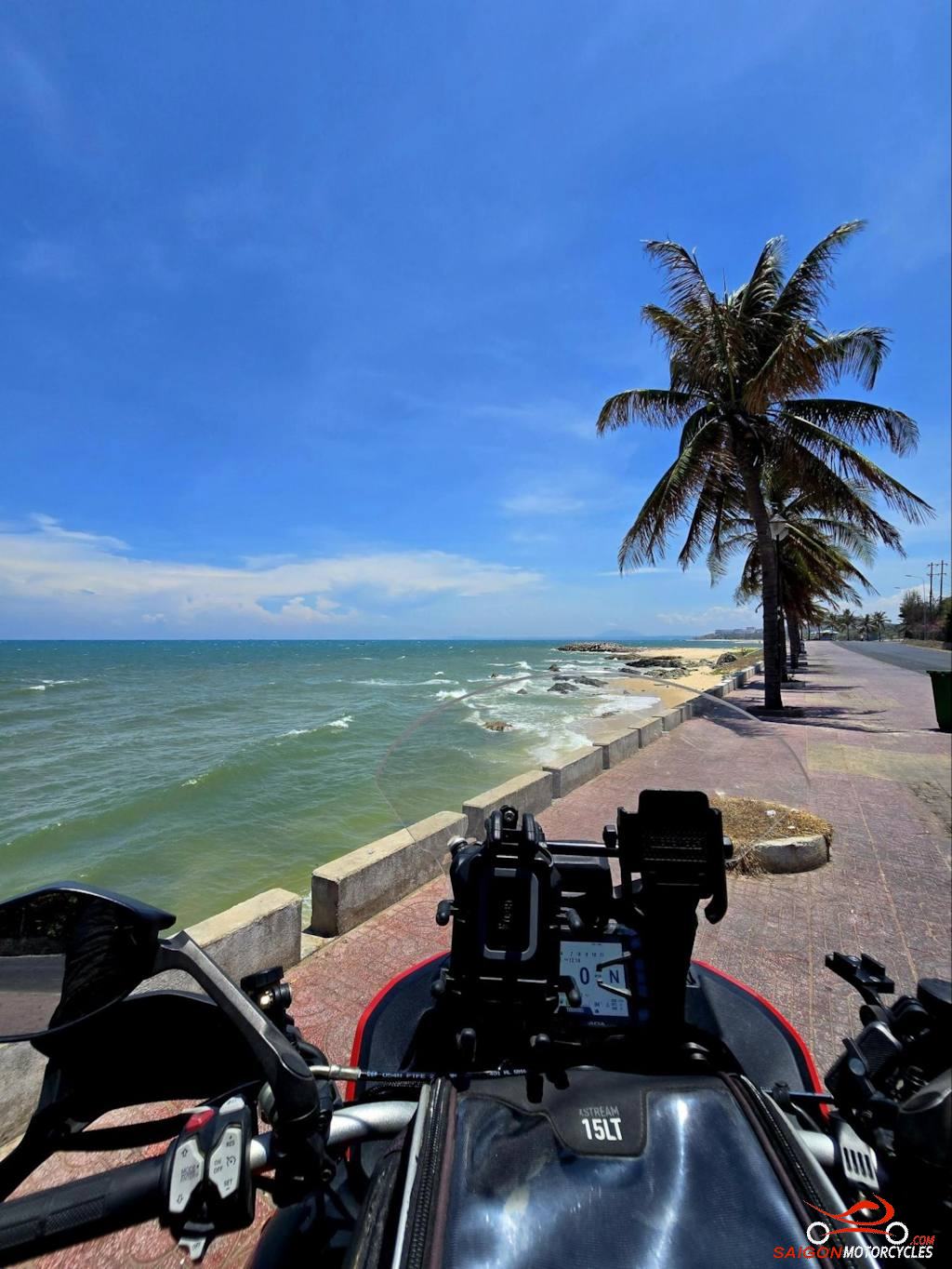
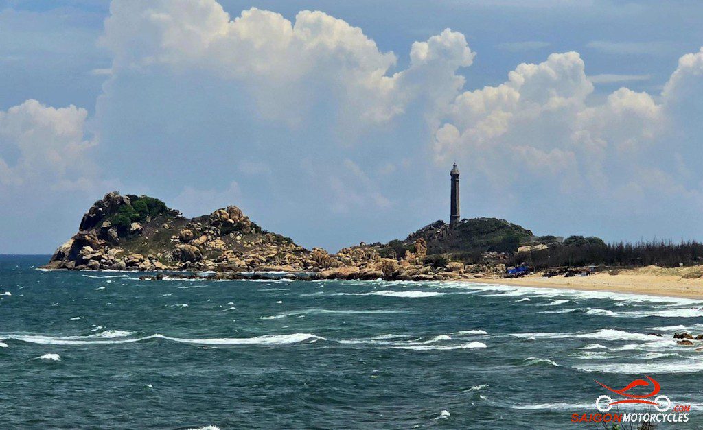
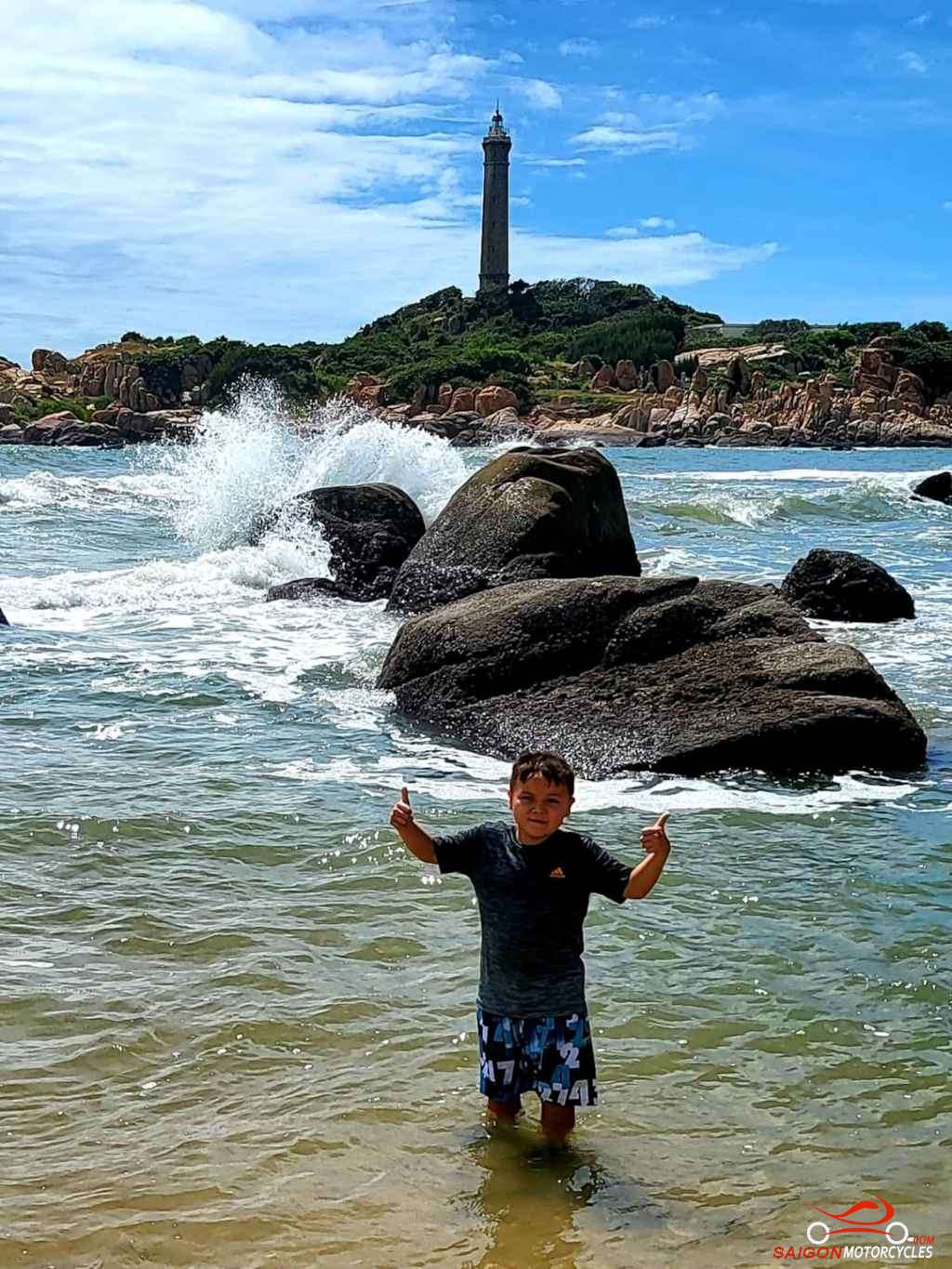
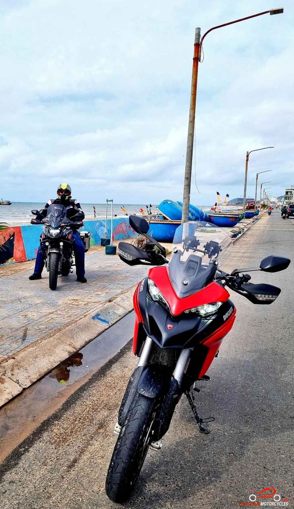
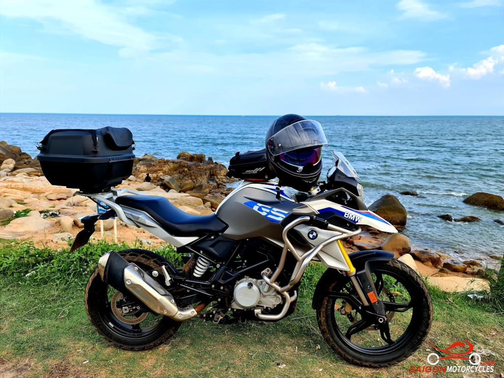
Day 4: Mui Ne - Vung Tau via coast - 195 kms

Mui Ne - Vung Tau via Coast

Distance: 195 kms

As is my habit, a morning swim in any beach town is a great start to the day. Mui Ne though is not the beach paradise of the last few days if you’ve been coming down the coast.

Some areas are decent but unless staying at the adjoining beachside resort most are inaccessible to the public. In most of the town there simply is no beach at all.

All accommodation options have a good pool to fix this problem and we have a great time here regardless. A big breakfast and we get out of town on the coast.

This is a simple and relaxing relatively short day to Vietnam’s Southernmost beach town on the mainland.

(A) Is a viewpoint to keep you off the A1.

(B) At 64 metres high and built by the French in 1899 the oldest and highest lighthouse in Vietnam. A great first stop to have a walk and check out the area. 

(C) One of two recommended lunch stops. Good VIetnamese menu right on the beach so a swim opportunity also.

(D) If a seafood lunch appeals this is the best of many great restaurants in the area.

(E & F) Takes you through a fishing village.

(G & H) Píns to keep you on the coast to our preferred accommodation options.

(I) Twisted Throttle Tavern for a few cold beers and great pub food.

Vung Tau, the city I choose to base myself, has over 500,000 residents but doesn’t feel that big. A clean city with a good year around climate and a lot to offer visitors. To date not particularly well marketed but I feel that will change with the development of the beach areas in progress and planned for the near future.

Log in below to view full route maps, accommodation and food information.
These are supplied to all our touring bike customers.
(Excluded from the above itinerary) 

Log in below to view full route maps, accommodation and food information.
These are supplied to all our touring bike customers and excluded from the above itinerary.

Shopping Cart
Scroll to Top

FREE OIL CHANGE on Saturday 5th April

  • Do you love your bike?
  • Do you tour or ride more than 1,000 kms a month?
  • Is you bike 2018 model or later?

If the answer is “Yes” and you ride one of the listed models, you qualify for a free, high quality oil change from Anglomoil. Click the button below and if your bike is listed, come and see us for a FREE oil change!