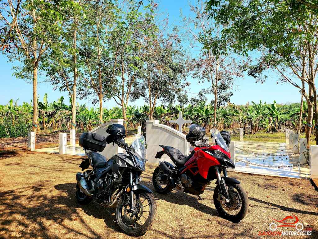
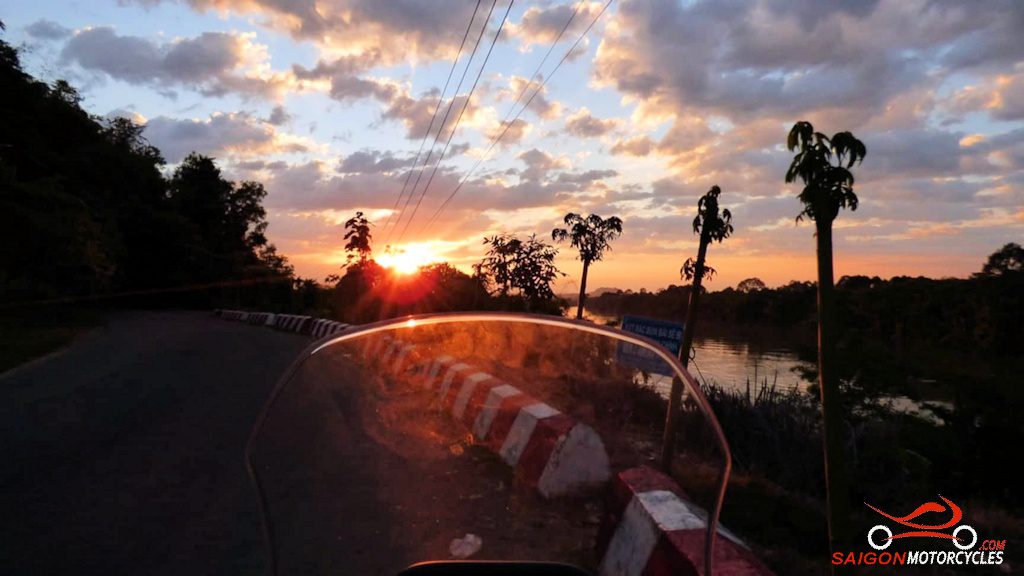
Day 1: HCM City - Cat Tien - 165 kms


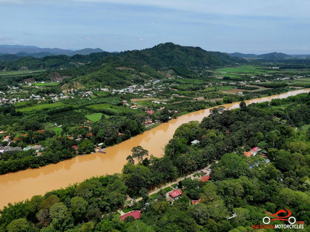


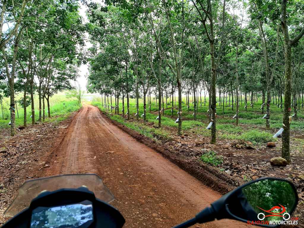
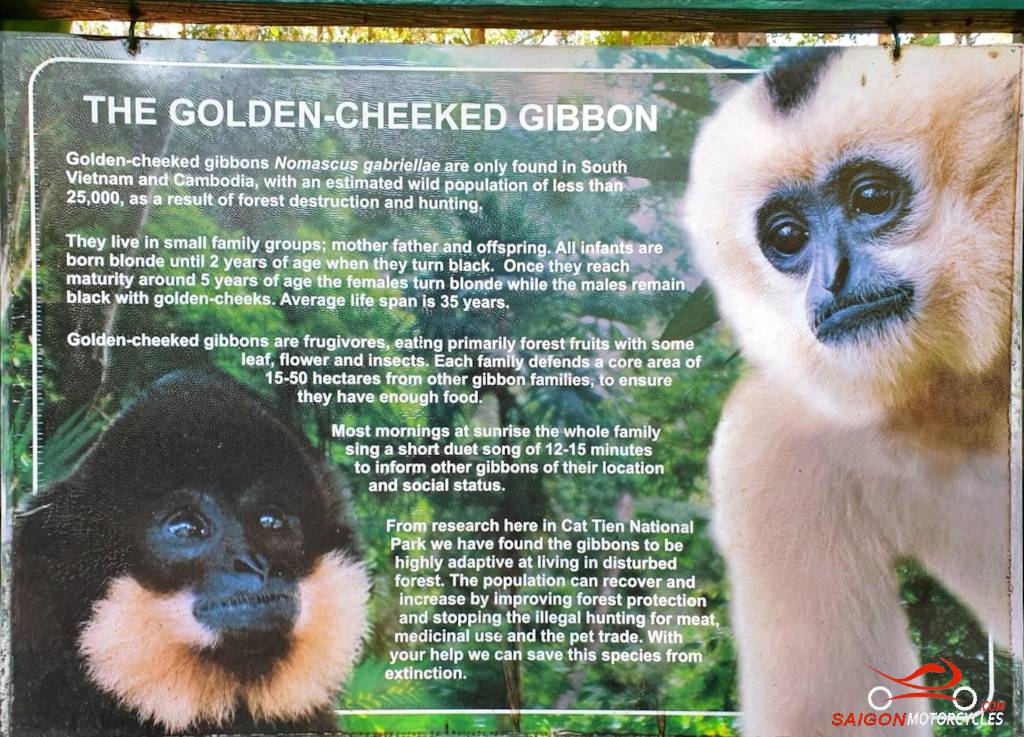
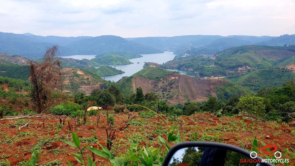
Day 2: Cat Tien - Ta Dung - 200 kms


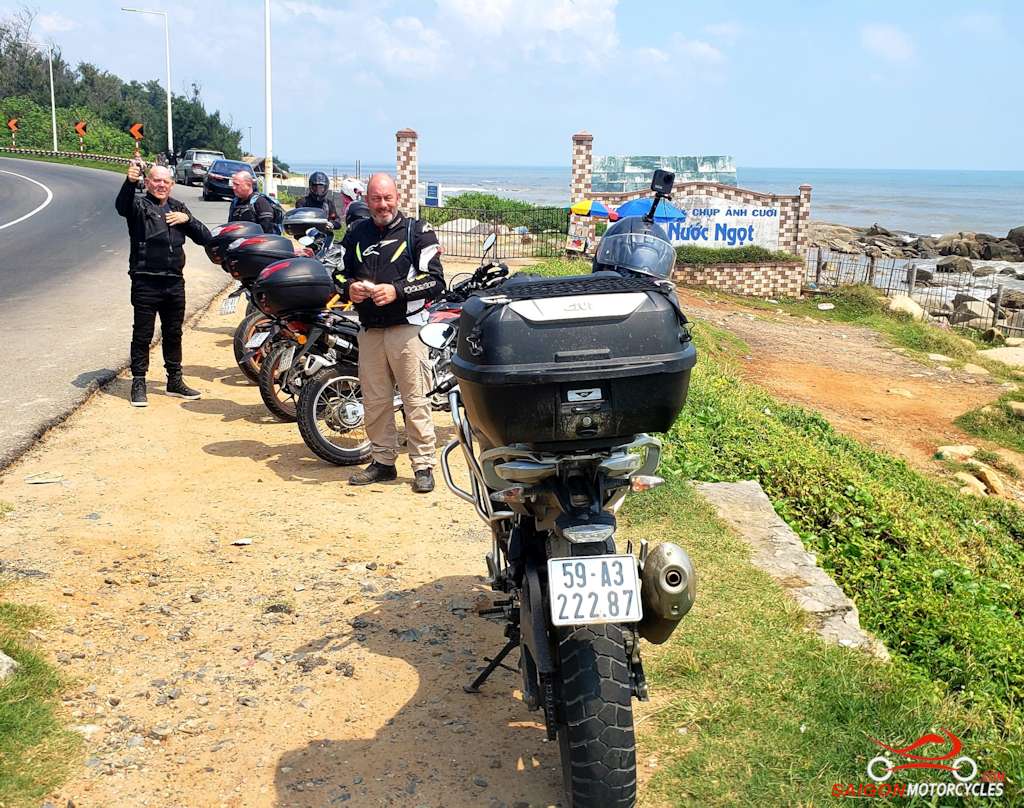
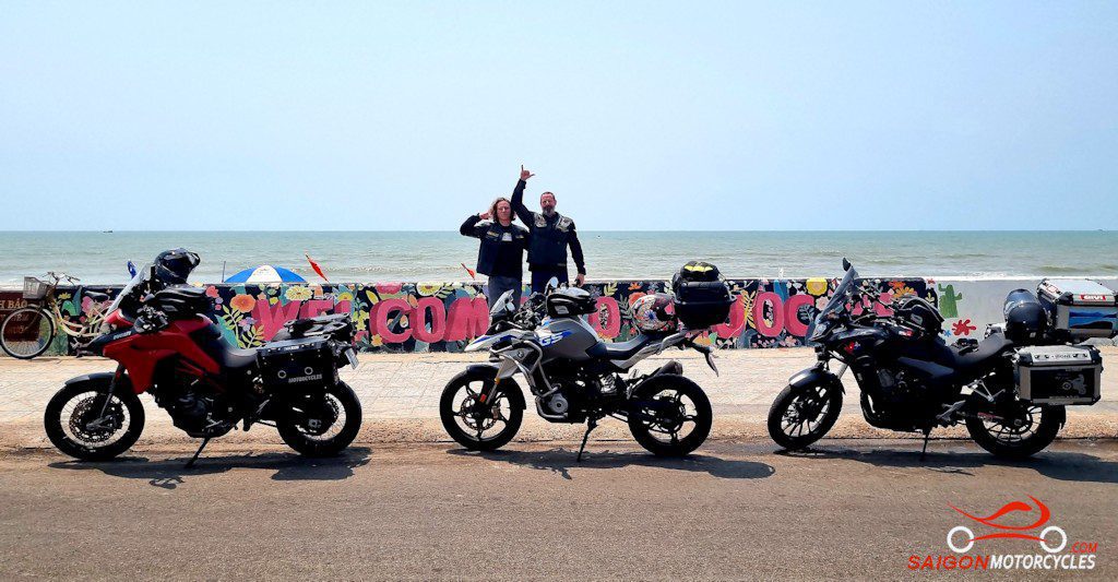
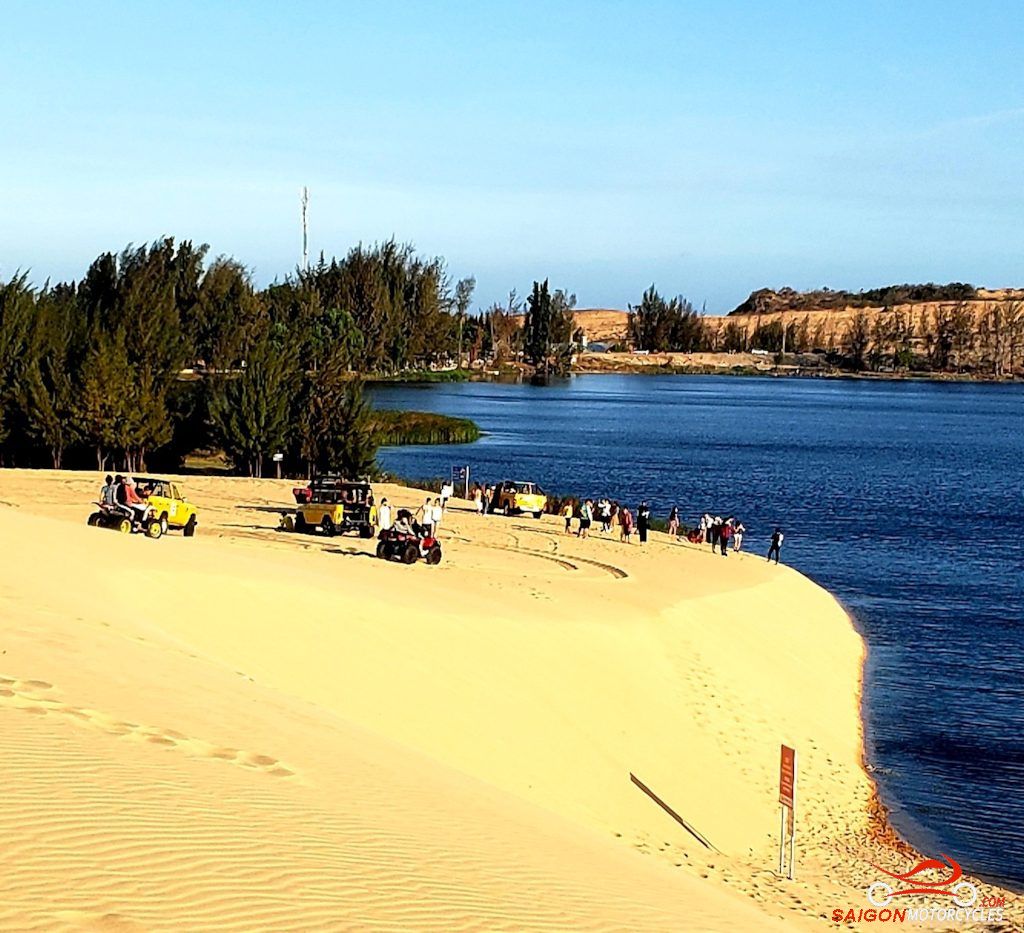
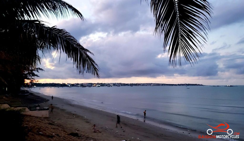
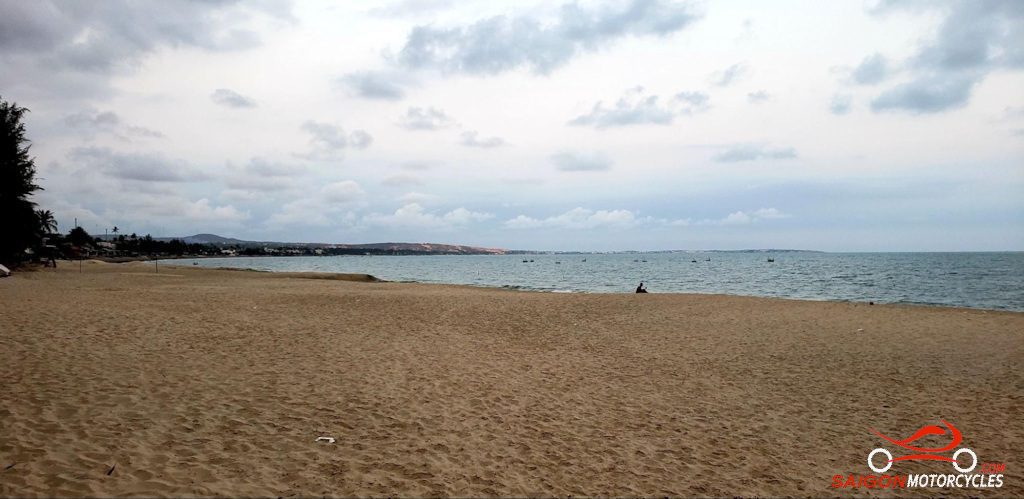
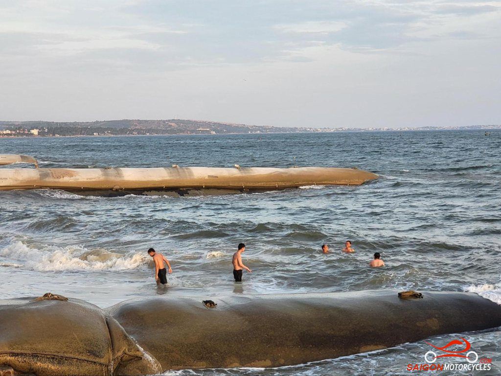
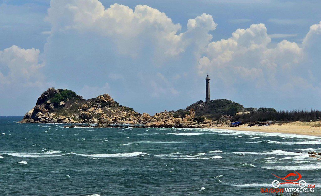
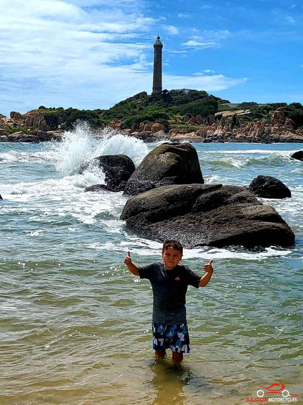
Day 3: Ta Dung - Mui Ne - 240 kms

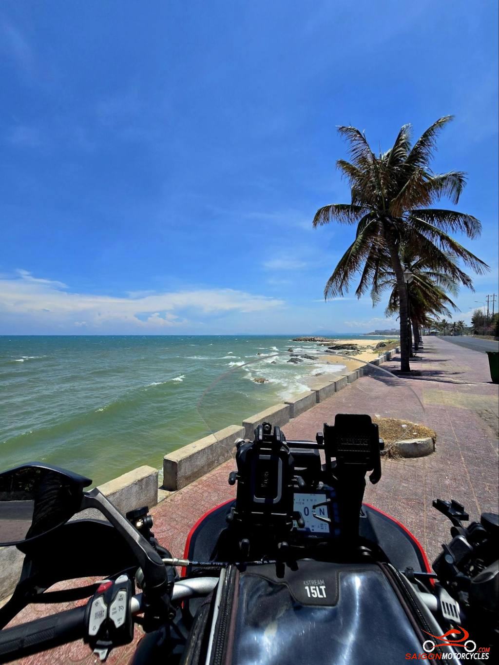
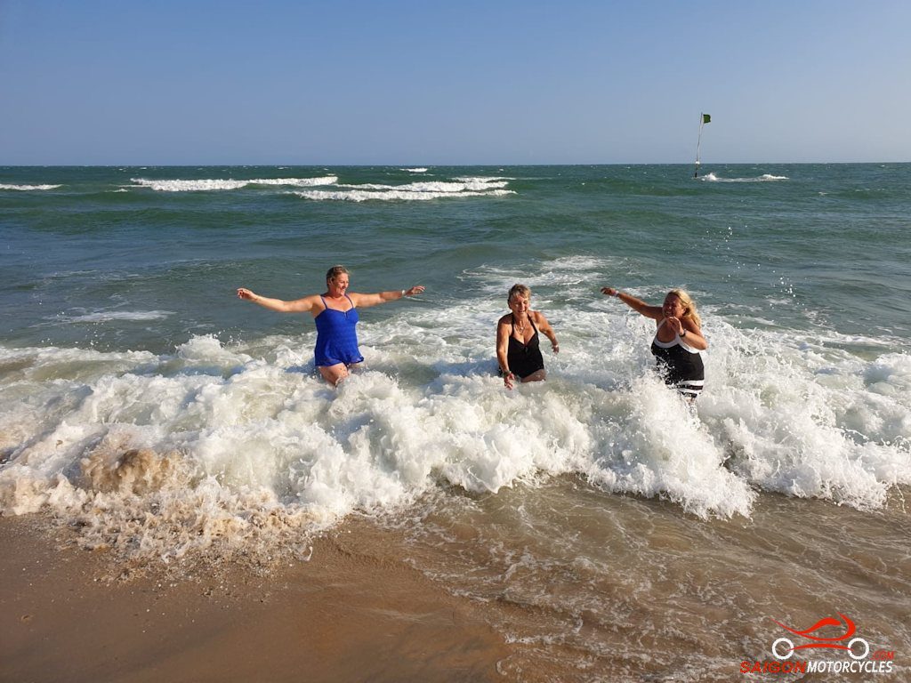
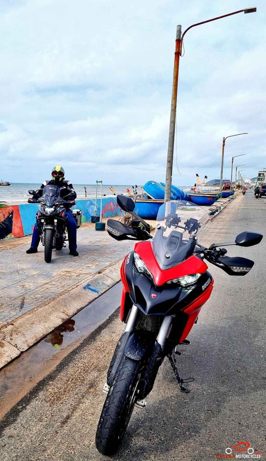
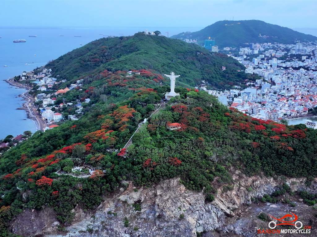
Day 4: Mui Ne - Vung Tau - 195 kms

Day 5: Vung Tau - HCM City via Lakes- 150 kms