Day 1: Cat Lai - Vung Tau via River - 145 kms


Day 1: Cat Lai - Vung Tau via Lakes - 155 kms


Day 2: Vung Tau - Bao Loc - 300 kms


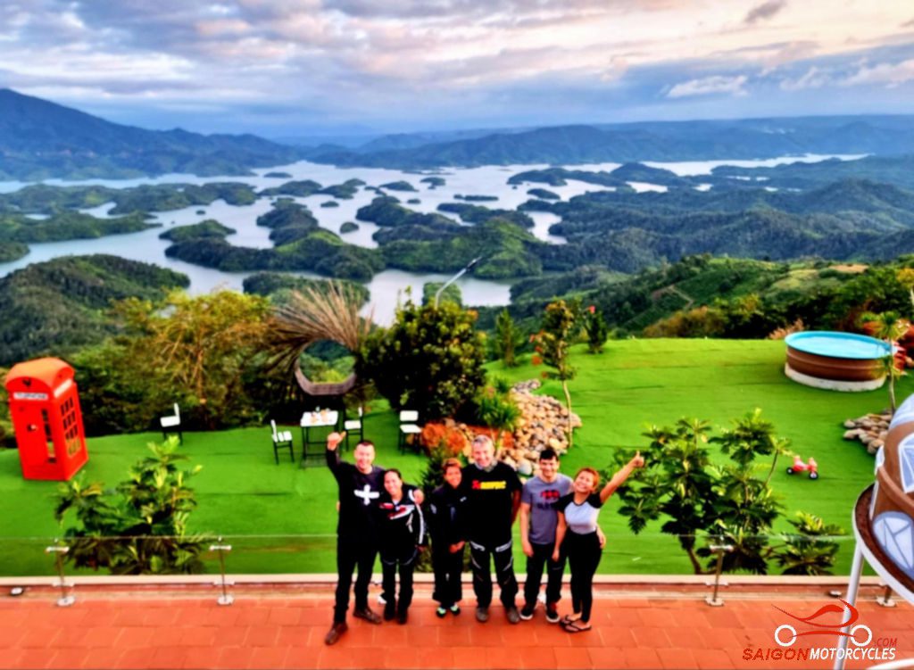
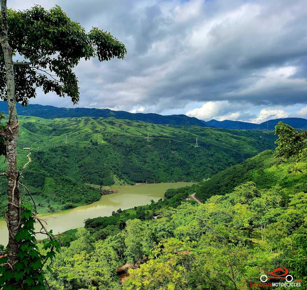
Day 3: Bao Loc - Ta Dung - Dalat - 240 kms


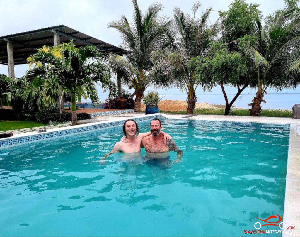
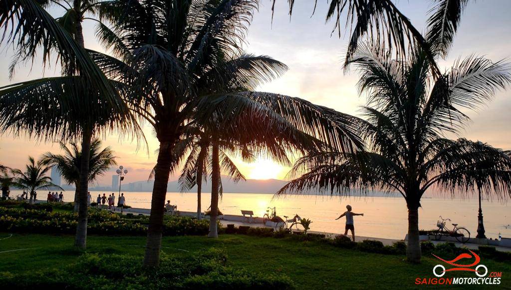
Day 4: Dalat - Sorrento Beach Club - 215 kms


Day 5: Sorrento Beach Club - Whale Island - 275 kms


Day 6: Whale Island - Quy Nhon - 185 kms


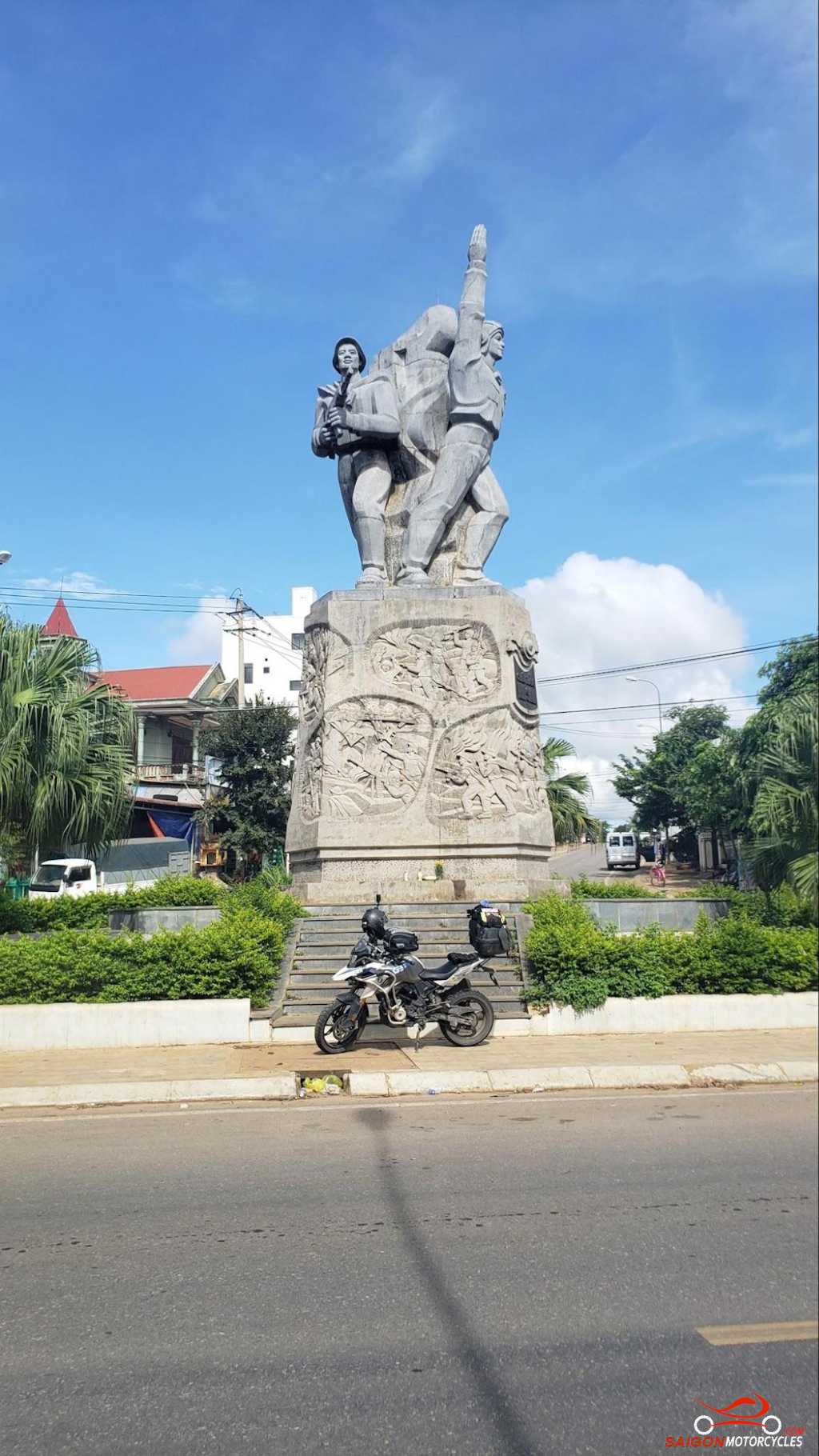
Day 7: Quy Nhon - Mang Den - 285 kms


Day 8: Mang Den - My Khe - 150 kms


Day 9: My Khe - Hoi An Inland - 250 kms


Day 10: Hoi An - Khe Sanh - 340 kms


Day 11: Khe Sanh - Phong Nha - 230 kms


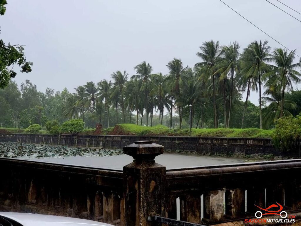
Day 12: Phong Nha - Hue - 240 kms


Day 13: Hue - Da Nang - 180 kms