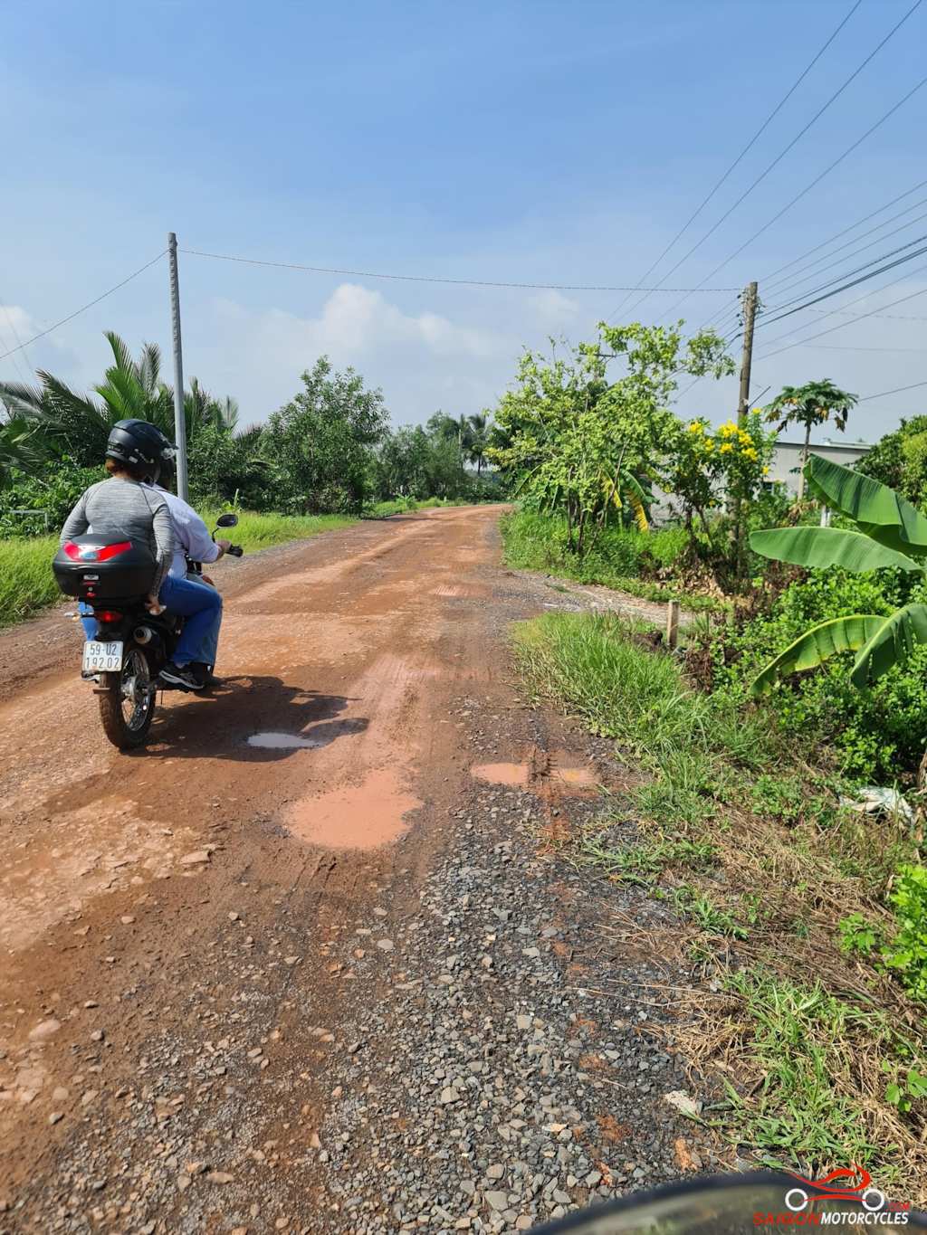
These routes are mapped both ways on our site to give our customers options. The Lakes route is only 10 km longer but with plenty of off map trails through rubber plantations and around the lakes can take much longer. If the weather is fine and with an early start this is the best option. Watch your speed in the first 10km from the ferry.
Click for Route details:
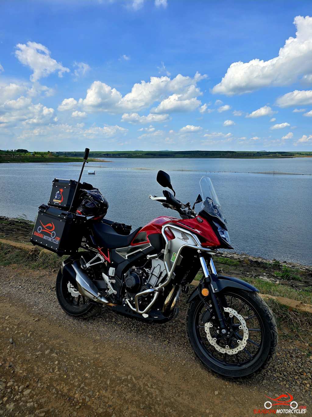
Day 1: HCM City - Vung Tau via Lakes - 155 kms
Cat Lai Ferry - Vung Tau via Lakes
Distance: 155 kms
This is by far the best way I’ve been to avoid the traffic getting out North of the city and my favourite way to Vung Tau also. The police are rather active in the first 10 km or so from the ferry so watch your speed in that area.
Once you’re on the North side of the highway the roads open up and you can get a little more liberal with the throttle.
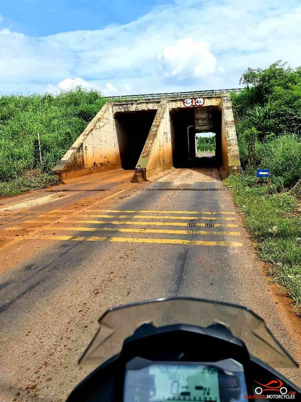
You’ll pass under the expressway and that’s my indicator that the fun is about to get real.
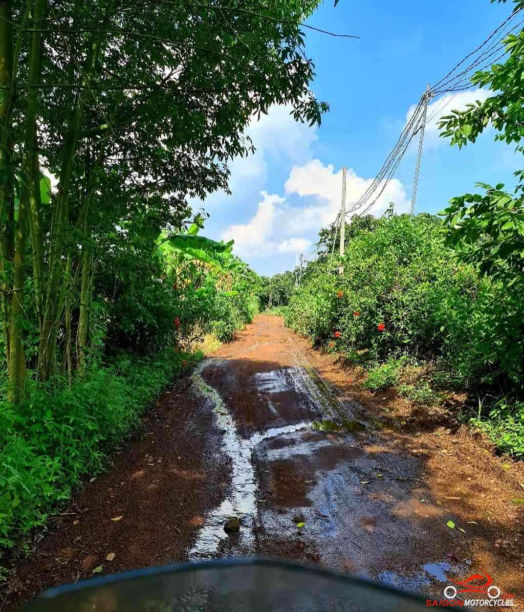
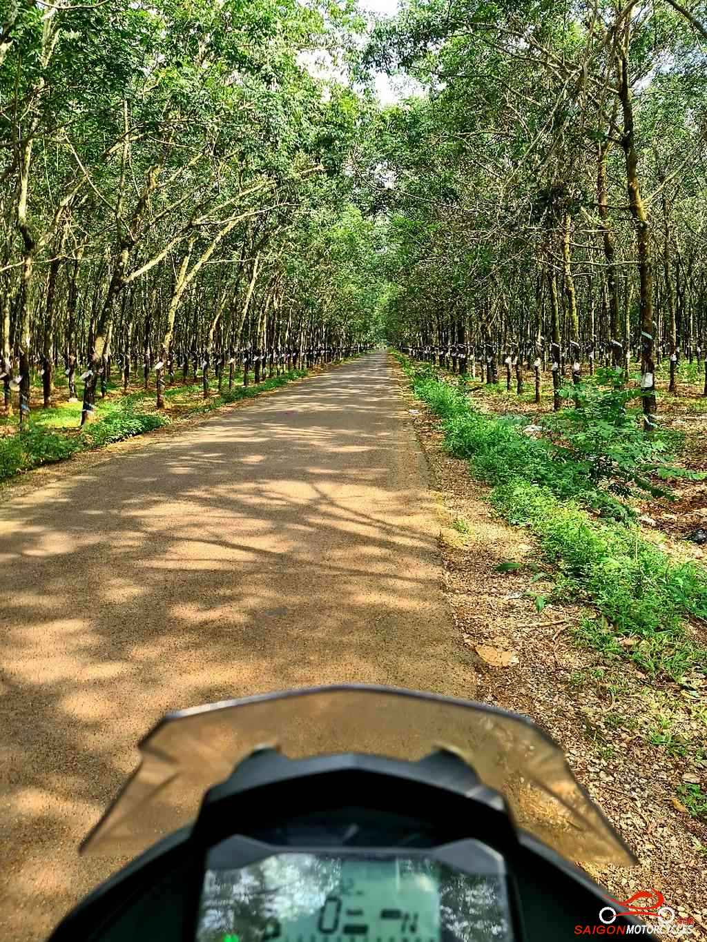
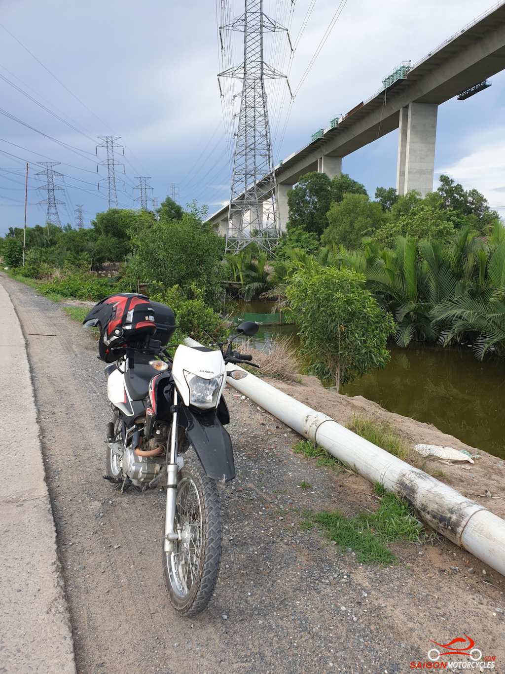
From there its diverse farmland and rubber plantations most of the way to the coast. Plenty of great deviations off this map so if you have time follow it loosely and enjoy some exploring. Many of the trails aren’t on maps but it doesn’t matter you’ll pick it up again later.
(A) gets you around the first and usually the only police stop and a bowl of Pho if you missed breakfast. Some other good food options once you get over the highway.
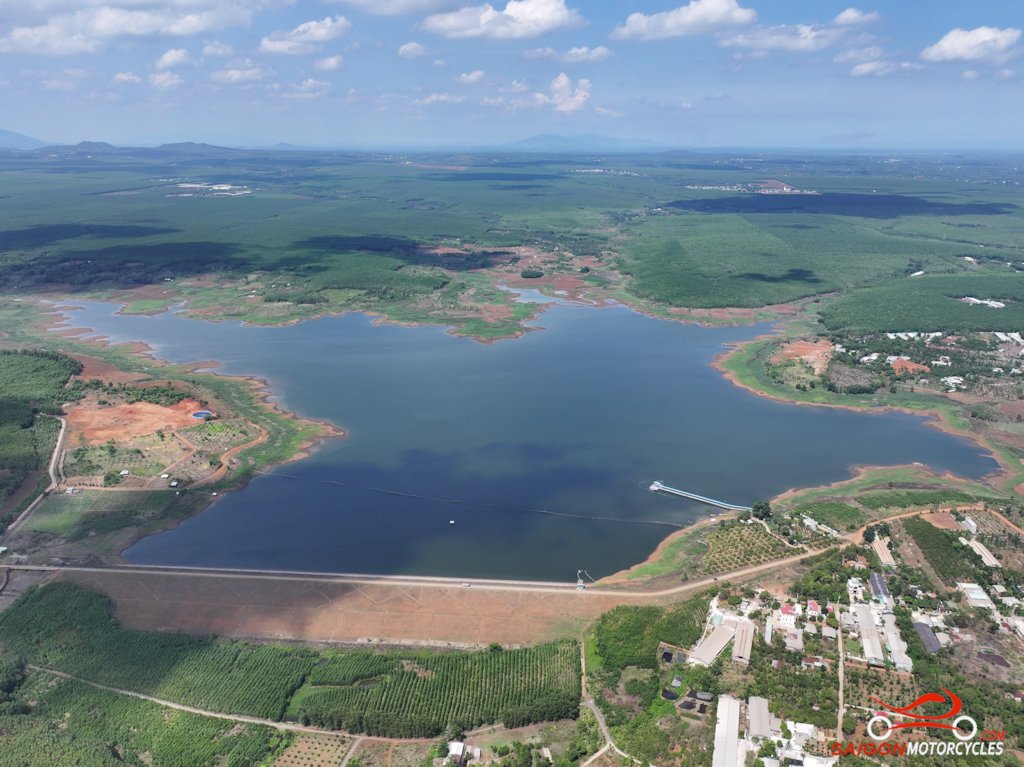
(B & C) are a couple cafes as pins to keep you on the most interesting route past two lakes.
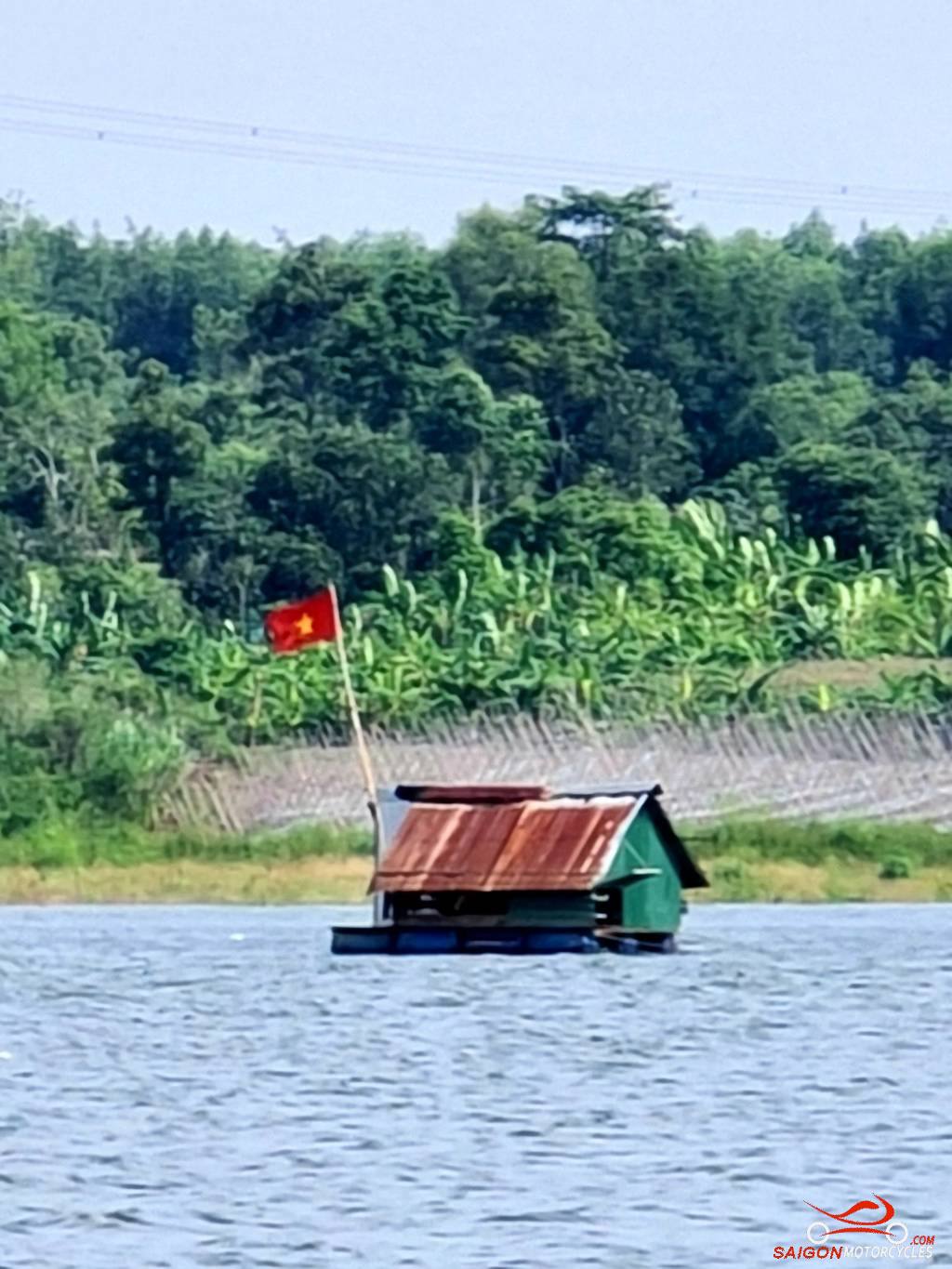
(D) is another lake and a good lunch option keeping you on the right track through some rubber to the next lake. Careful ordering the portions very generous.
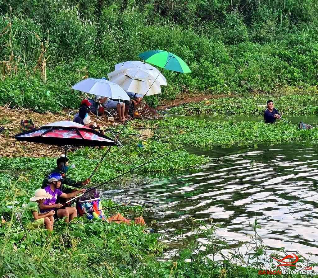
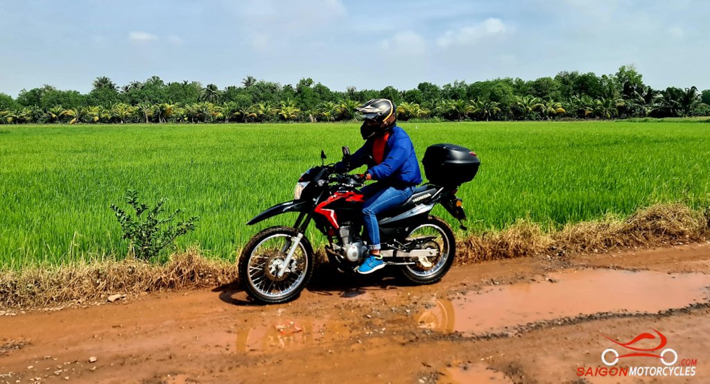
(E) Takes you around another lake and a good spot to throw a line for a half distance break. From here plenty of exploring off map to be done if time allows. Corn, banana, pepper, lots of sweet potato and cassava all grown in this area.
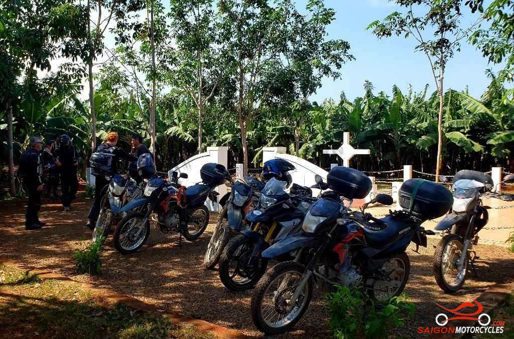
(F) is a memorial cross in memory of the 18 Australian and 245 Vietnamese soldiers killed In the August 1966 Battle of Long Tan.
(G) gets you down to the ocean for a coastal ride into Vung Tau. If short on time you can drop (G) at the Long Tan Cross for the more direct run in through Ba Ria.
(G & H) take you into Vung Tau along the newly developed back beach.
(I) The Twisted Throttle Tavern awaits for an icy cold beer or great pub food.
Vung Tau, the city I choose to base myself, has over 500,000 residents but doesn’t feel that big. A clean city with a good year around climate and a lot to offer visitors. To date not particularly well marketed but I feel that will change with the development of the beach areas in progress and planned for the near future.
Log in below to view full route maps, accommodation and food information. These are supplied to all our touring bike customers. (Excluded from the above itinerary)
Most I talk to say how bad the ride to Saigon is and yes the QL51 is up with the worst roads in the country. They have a very different view after taking this. One of my two favourites.
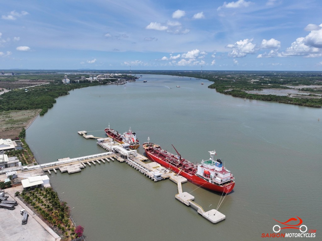
We start out through a fishing village then cross the main road for a farmland ride. Later there’s a short highway link to the river tracks all the way to the river ferry into HCMC.
(A) Is simply a way point to take you out of town on the newly developed Back Beach esplanade.
(B and C) Are two of my favourite seafood restaurants in the area. (B) on the water, the pick. Marked on this may primarily to take you off the main arterial and through a fishing village.
(D) Is a winding bitumen road and the best of the ride if time allows. There’s plenty of off tracks and temples to explore up there also.
(E) Is a lovely lake area where we turn West through some tracks back towards the highway.
There is a short unavoidable stint on the QL51 before the left turn which gets you back on some quiet back roads again. The river tracks this side of the highway are very different to the farmland adding great diversity to the day.
There’s plenty to keep you interested. This isn’t a fast ride but one to relax and take it all in along the way.
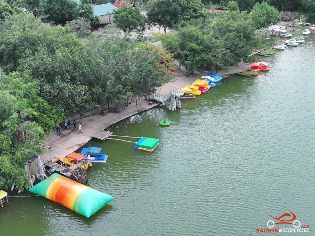
(F) This water park is surprisingly busy in holiday times given how remote it is.
Historically as some photos show these tracks were unsealed and rough in places. They are almost all concrete now so it’s an option for all bike styles.
(G & H) Are two Ma and Pa cafes only marked to get you on the right tracks.
If with a group of mates this temple just a few kms before the ferry, roadside is great photo stop.
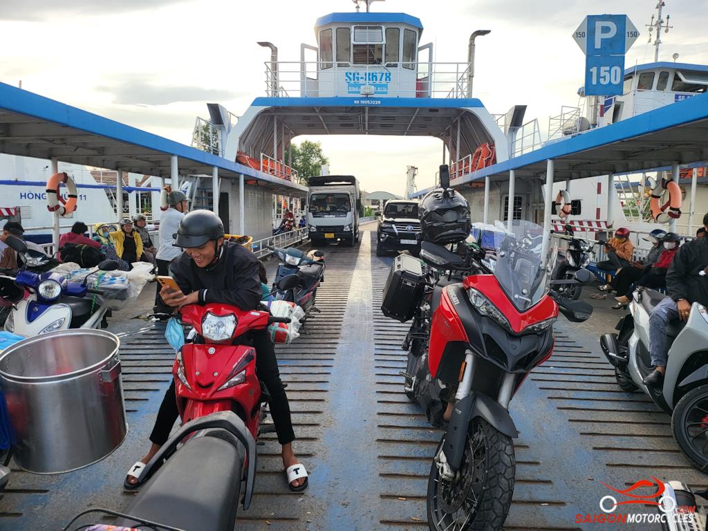
(I) The river ferry before a 12km ride to Saigon Motorcycles at 36 Quoc Huong, Thao Dien, D2.
Log in below to view full route maps, accommodation and food information. These are supplied to all our touring bike customers. (Excluded from the above itinerary)
Log in below to view full route maps, accommodation and food information. These are supplied to all our touring bike customers and excluded from the above itinerary.
If the answer is “Yes” and you ride one of the listed models, you qualify for a free, high quality oil change from Anglomoil. Click the button below and if your bike is listed, come and see us for a FREE oil change!