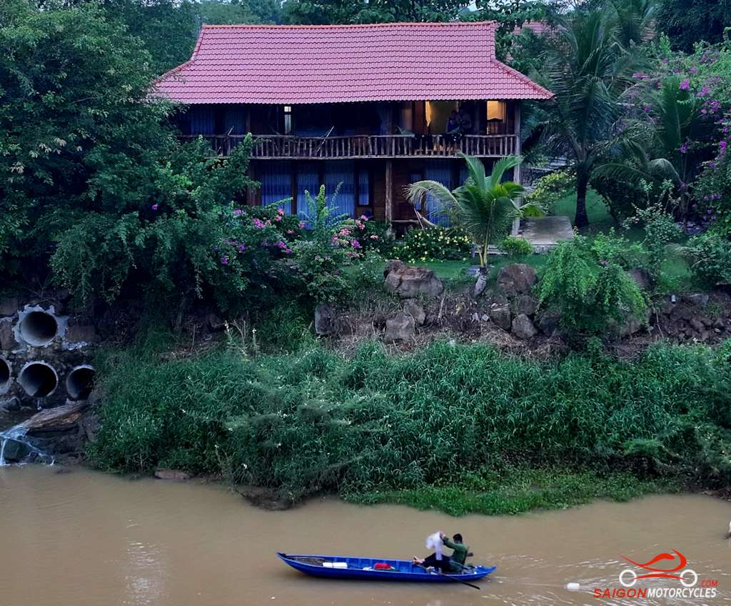
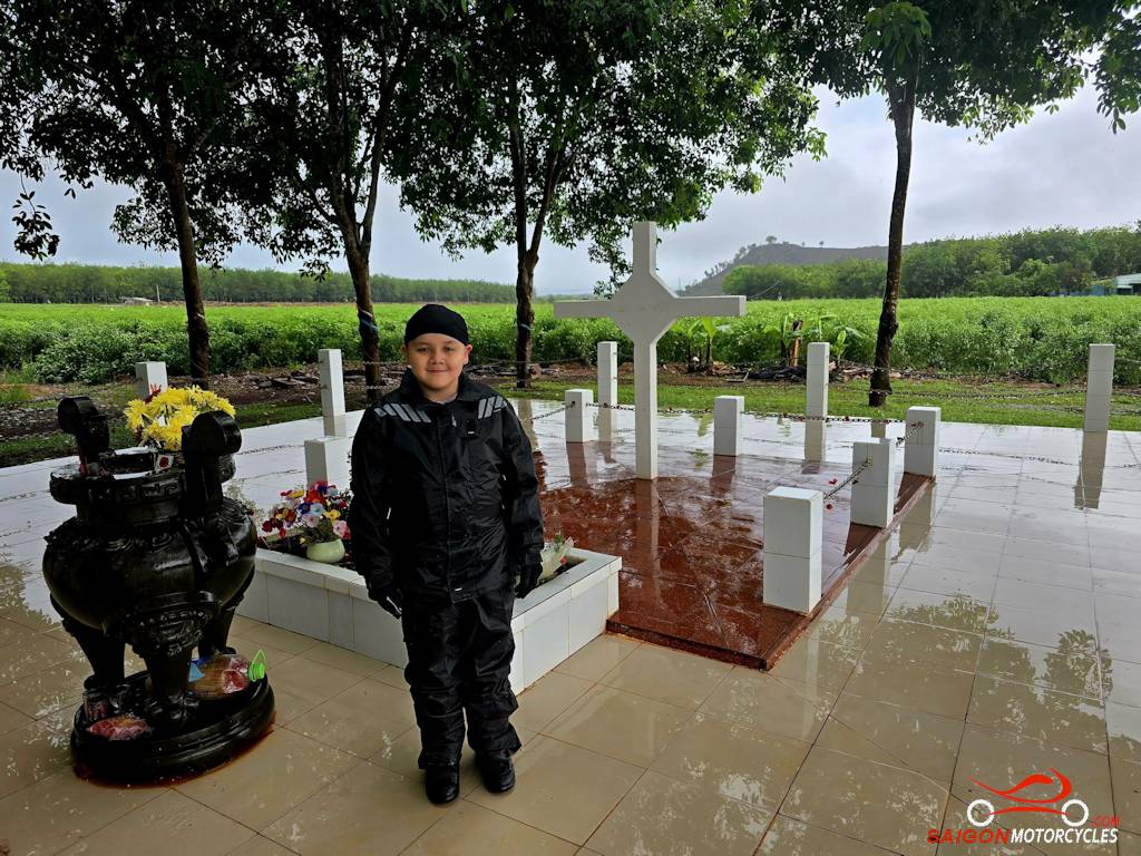
Day 1: Vung Tau - Cat Tien - 185 kms
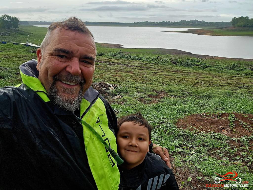
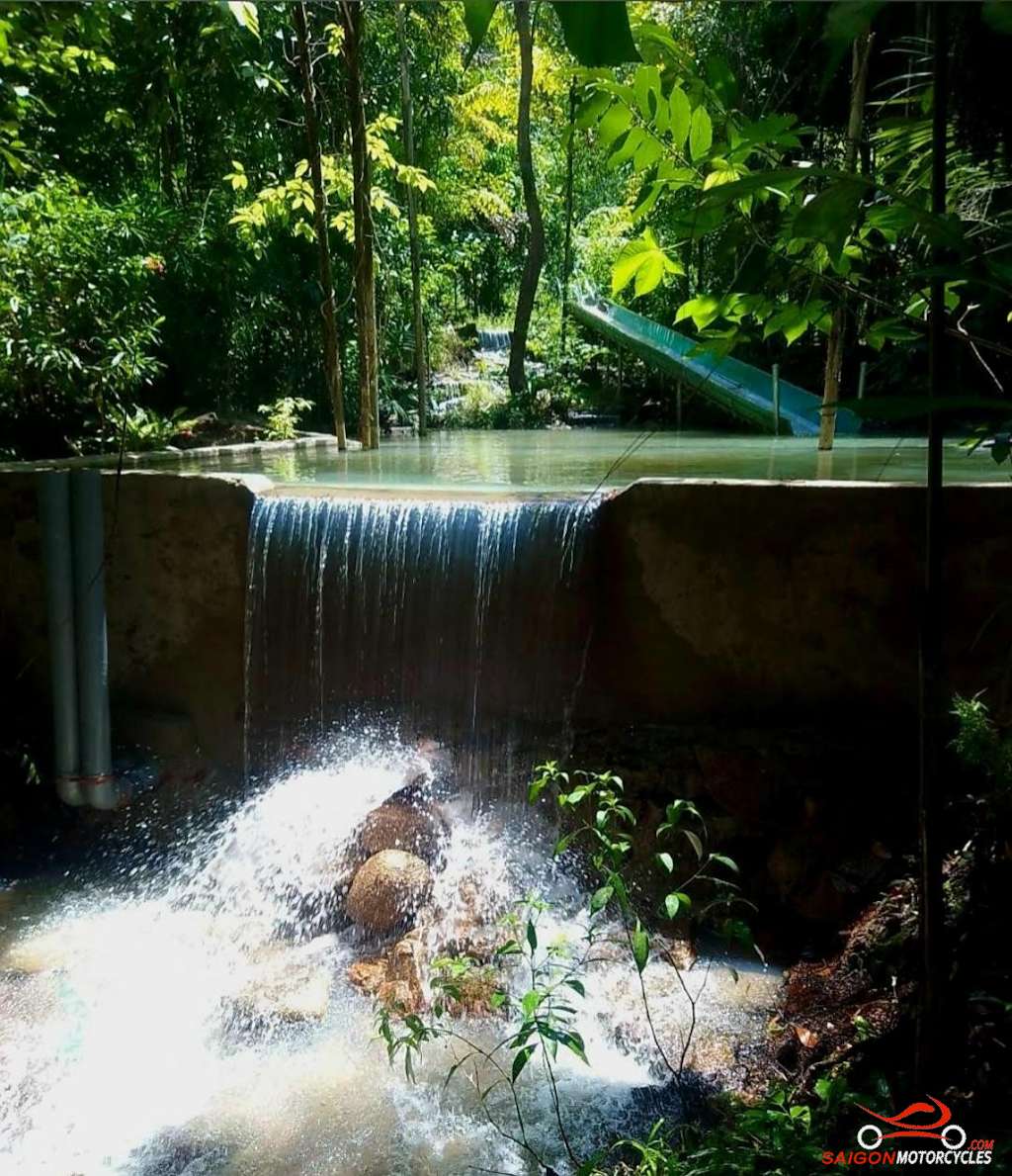


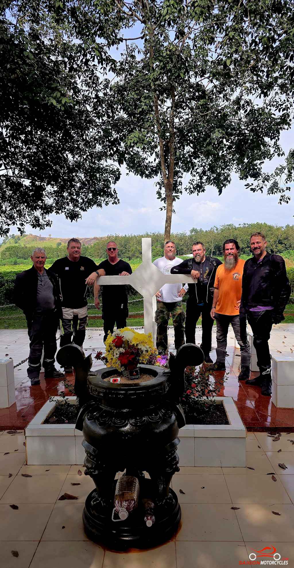
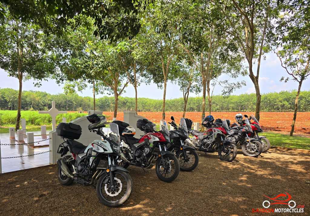
Day 2: Cat Tien - Ta Dung Loop - 280 kms

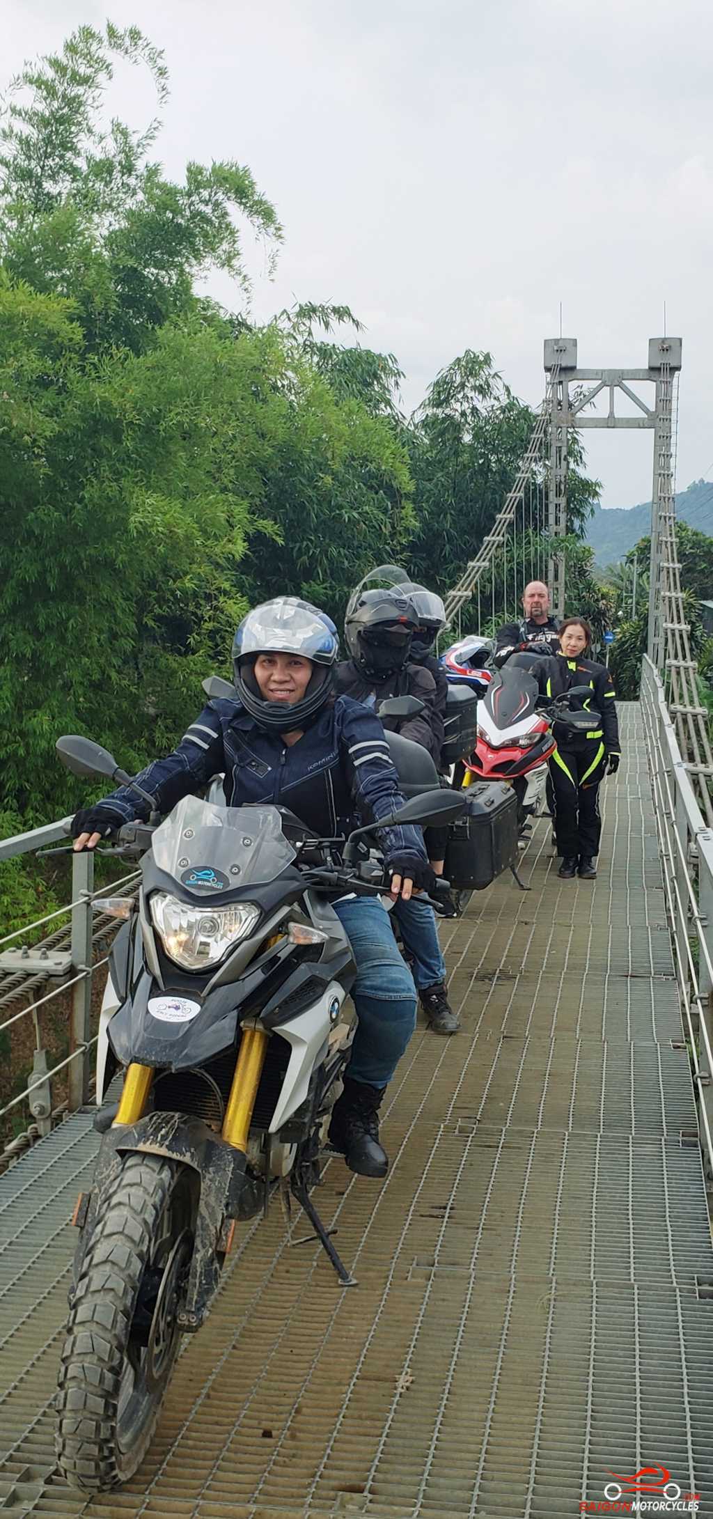


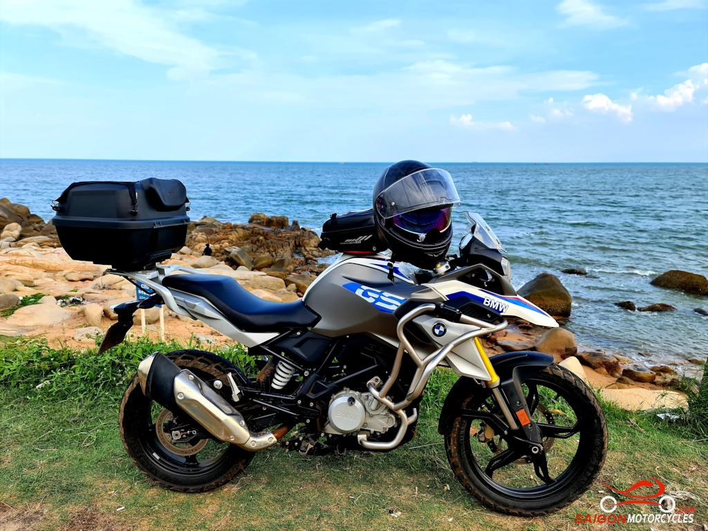
Day 3: Cat Tien - Vung Tau - 190 kms