Day 1: Vung Tau - Cat Tien - 185 kms


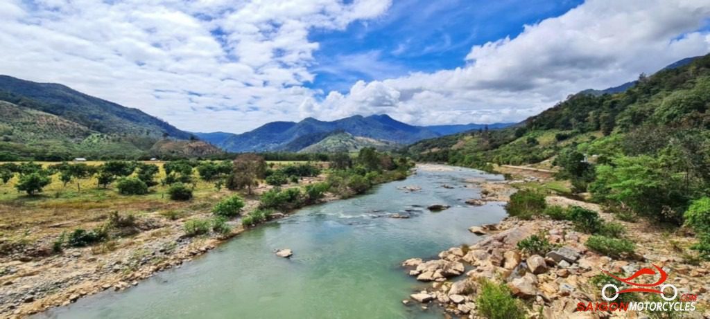
Day 2: Cat Tien - Ta Dung - 200 kms


Day 3: Ta Dung - Da Lat - 100 kms


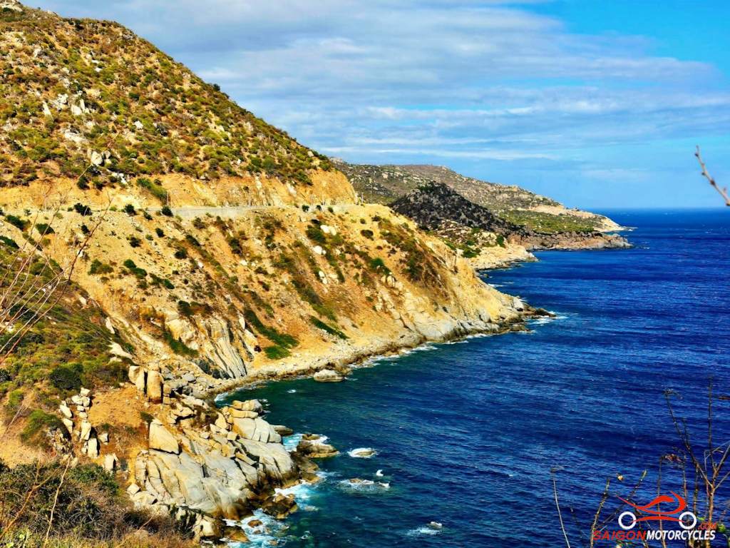
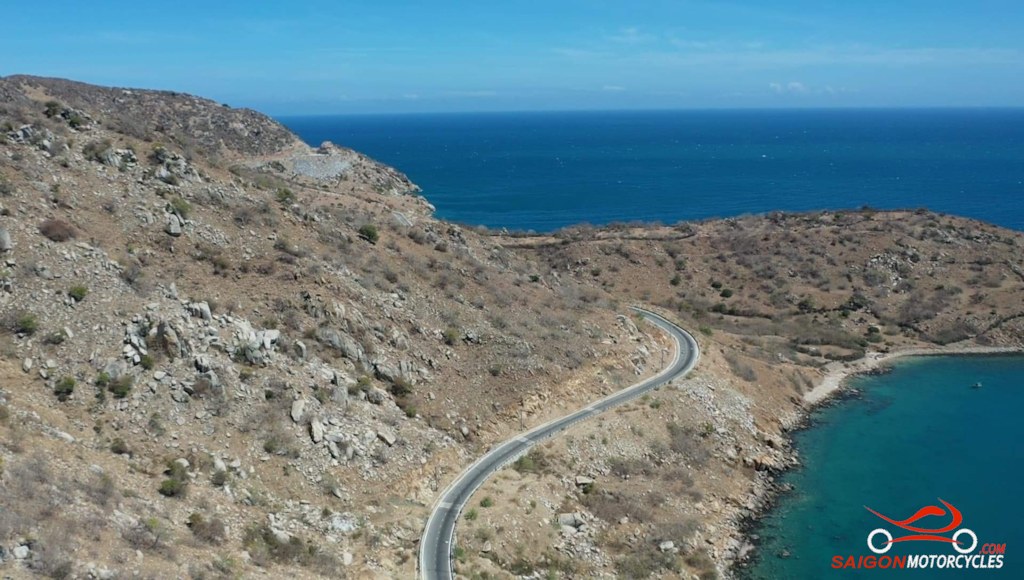
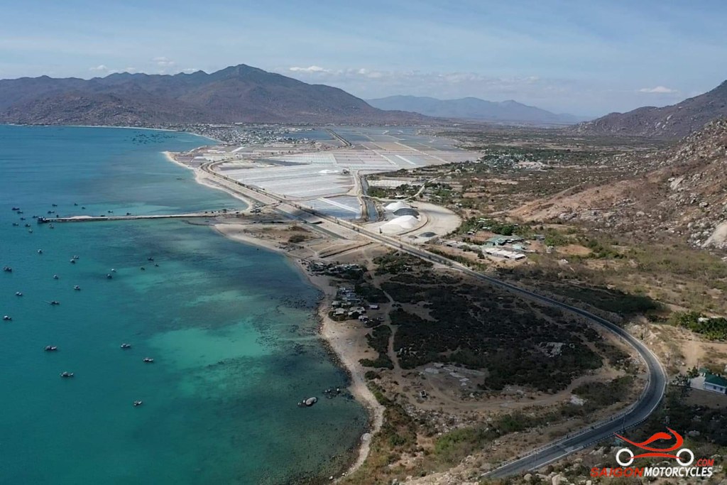
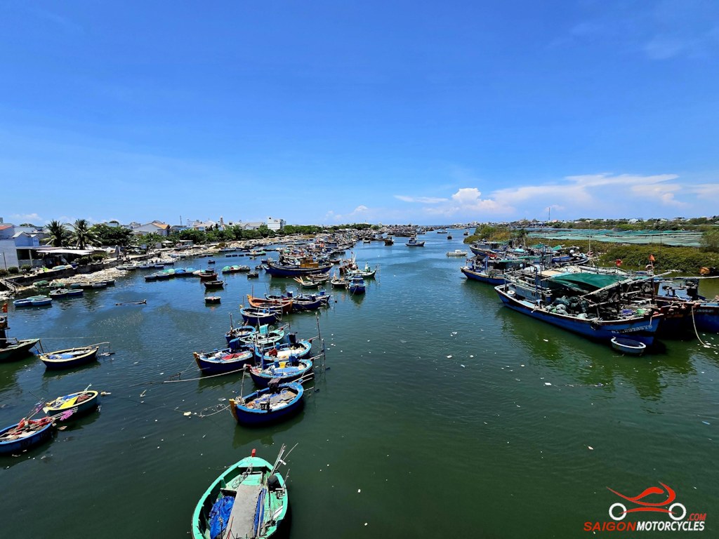
Day 4: Da Lat - Nha Trang - 140 kms


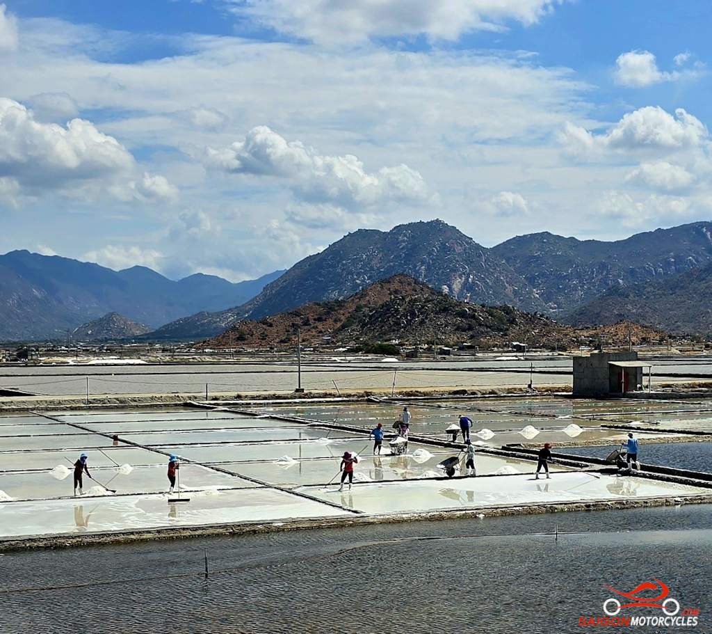
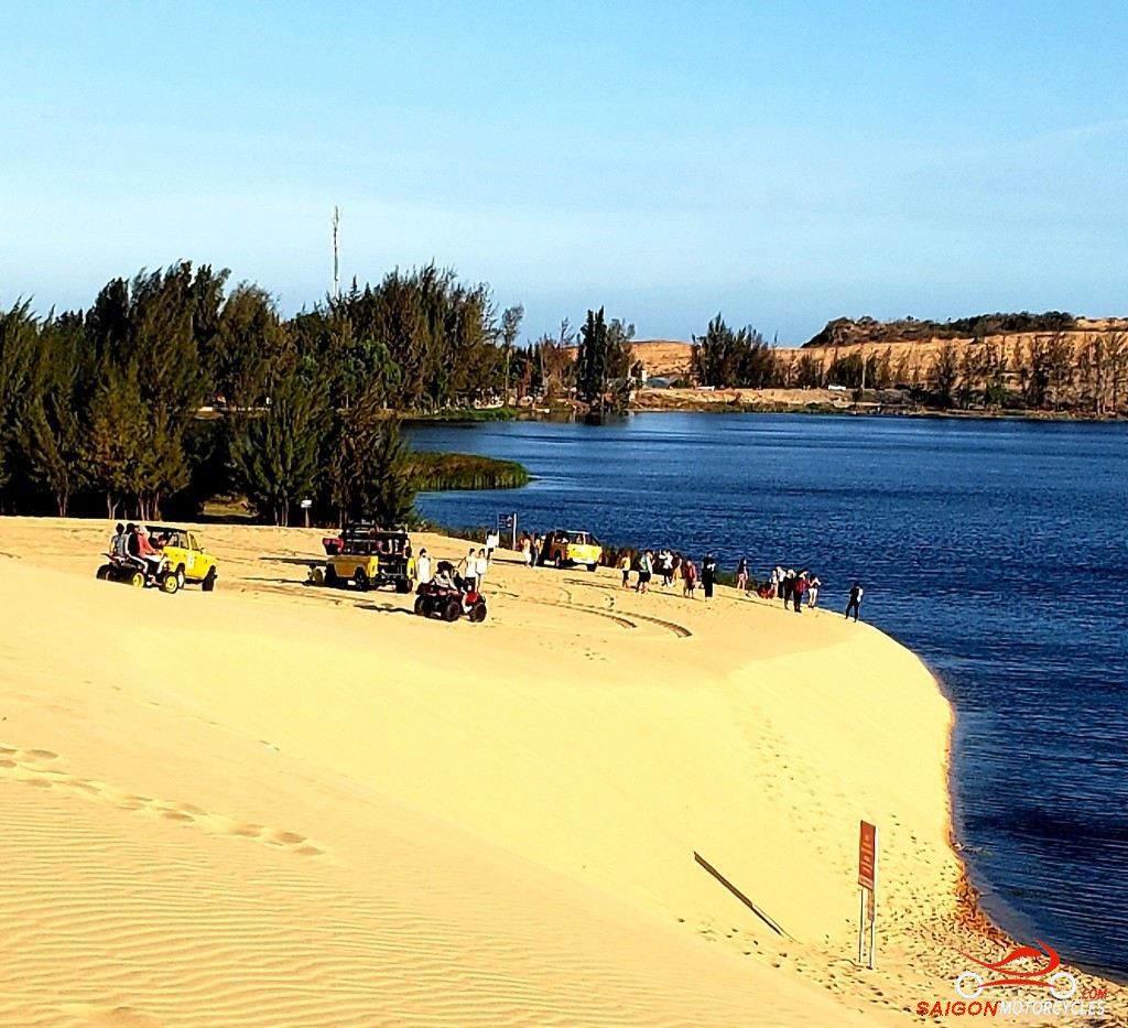
Day 5: Nha Trang - Mui Ne - 275 kms


Day 6: Mui Ne - Vung Tau - 195 kms